Google Map App Defines Zip Codes
Now you can view zip code outlines on Google maps thanks to one soul's creative application at http://maps.huge.info/
This is really handy for certain things.
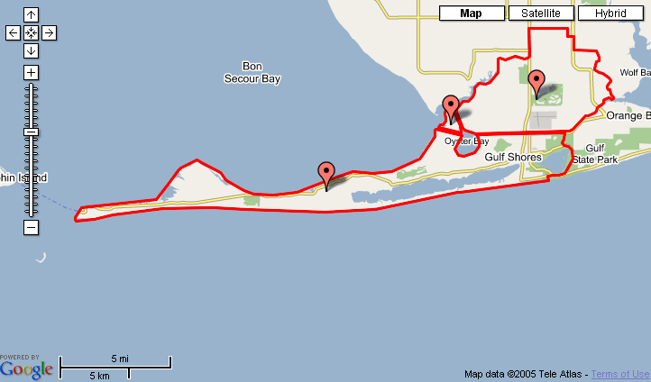
On this screenshot of my zip code you will notice the horizontal line thru the middle, sorta. Well, that is the Intercoastal Waterway--guess they are just telling us that the Post Office is not going to deliver mail to passing barges.
You can even add more than one outline to a map, like in a city where zip code areas are small cause people live densely. The app will just continue to outline the zip code areas as you type them in.
And if you are the type of person who enjoyes research and such--have a look at http://www.melissadata.com/Lookups/index.htm
Good gosh almighty...you can use this site as a porta for Street Names by ZIP, Canadian Addresses, Labor Statistics by ZIP code, get the monthly home sales and selling price by ZIP Code, get information about all public schools by name, city, state or district, find the closest Post Offices to a ZIP Code that accept bulk mail, get the number of fatal vehicle accidents and related information by state and county, and a whole bunch of other fascinating data.....see just how wicked people really are in your least favorite city, or how much it would cost you to move to Hilton Head.


Comments